Remote Sensing
About Us:
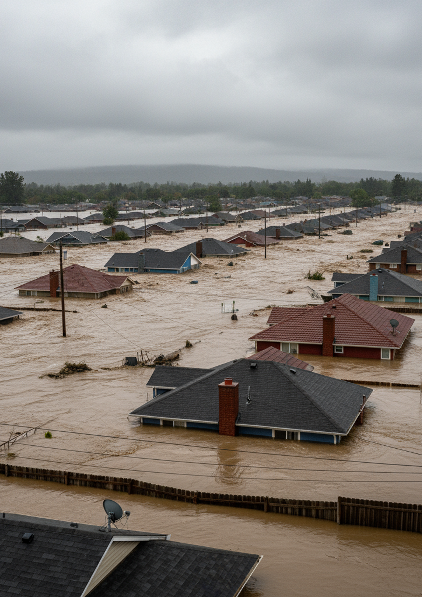
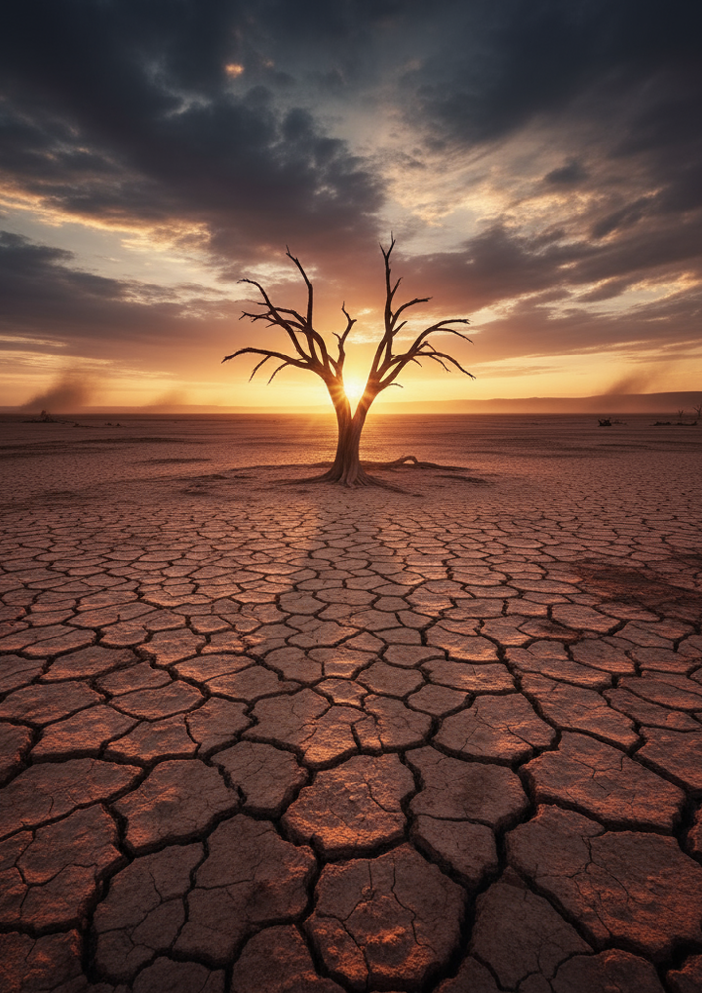
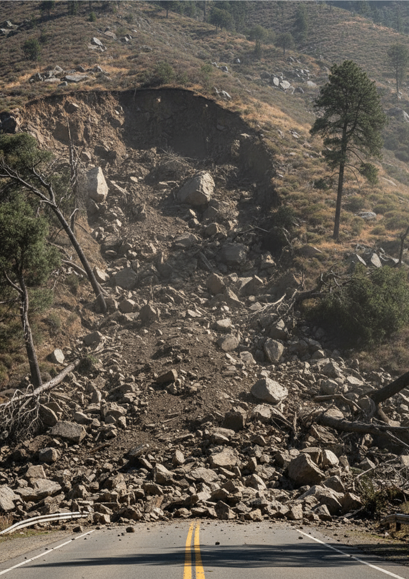
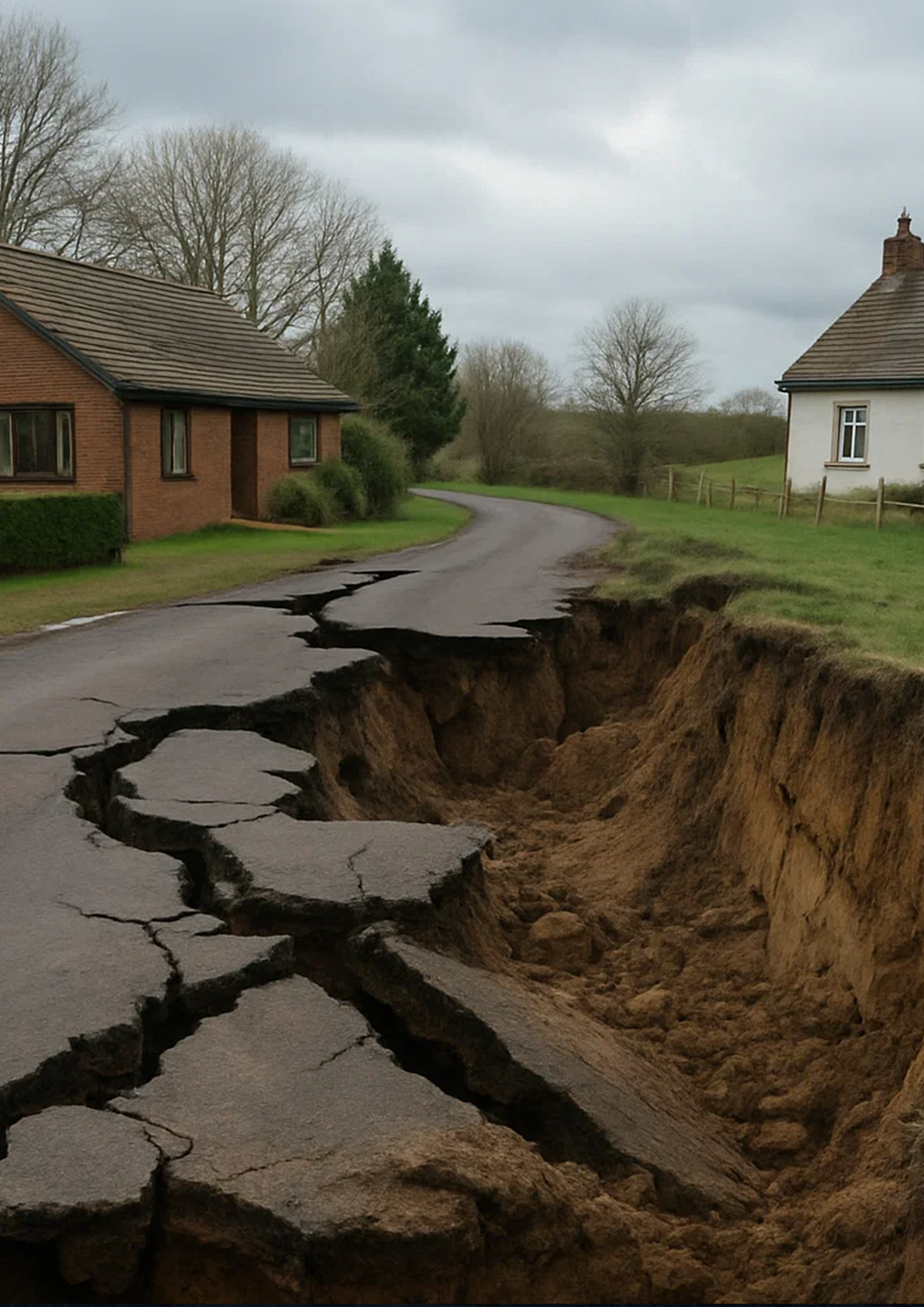
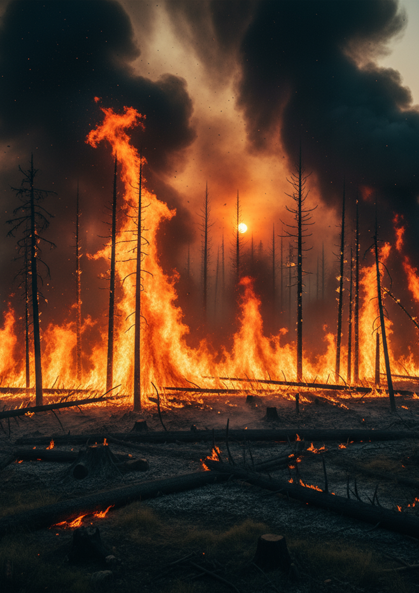
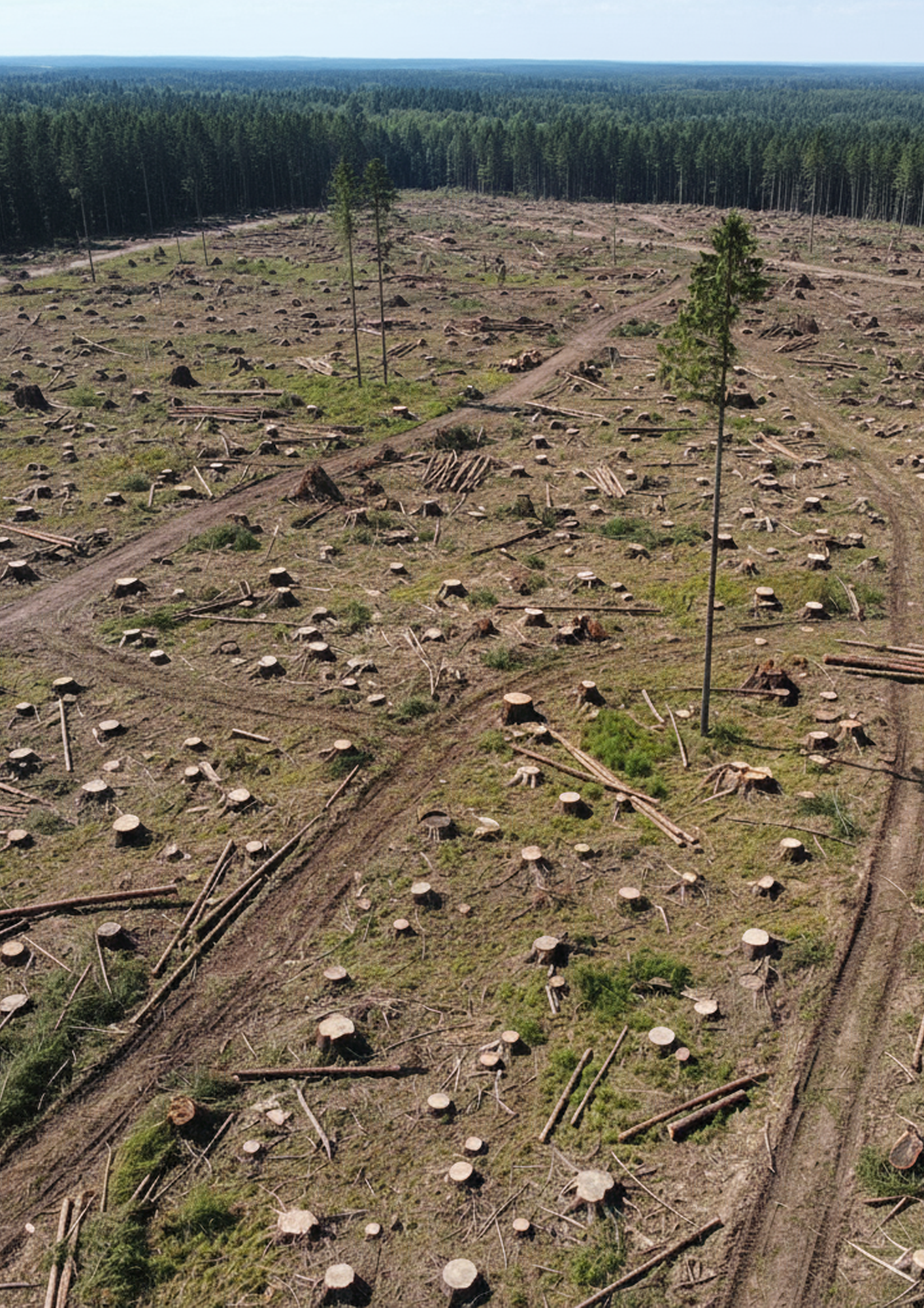
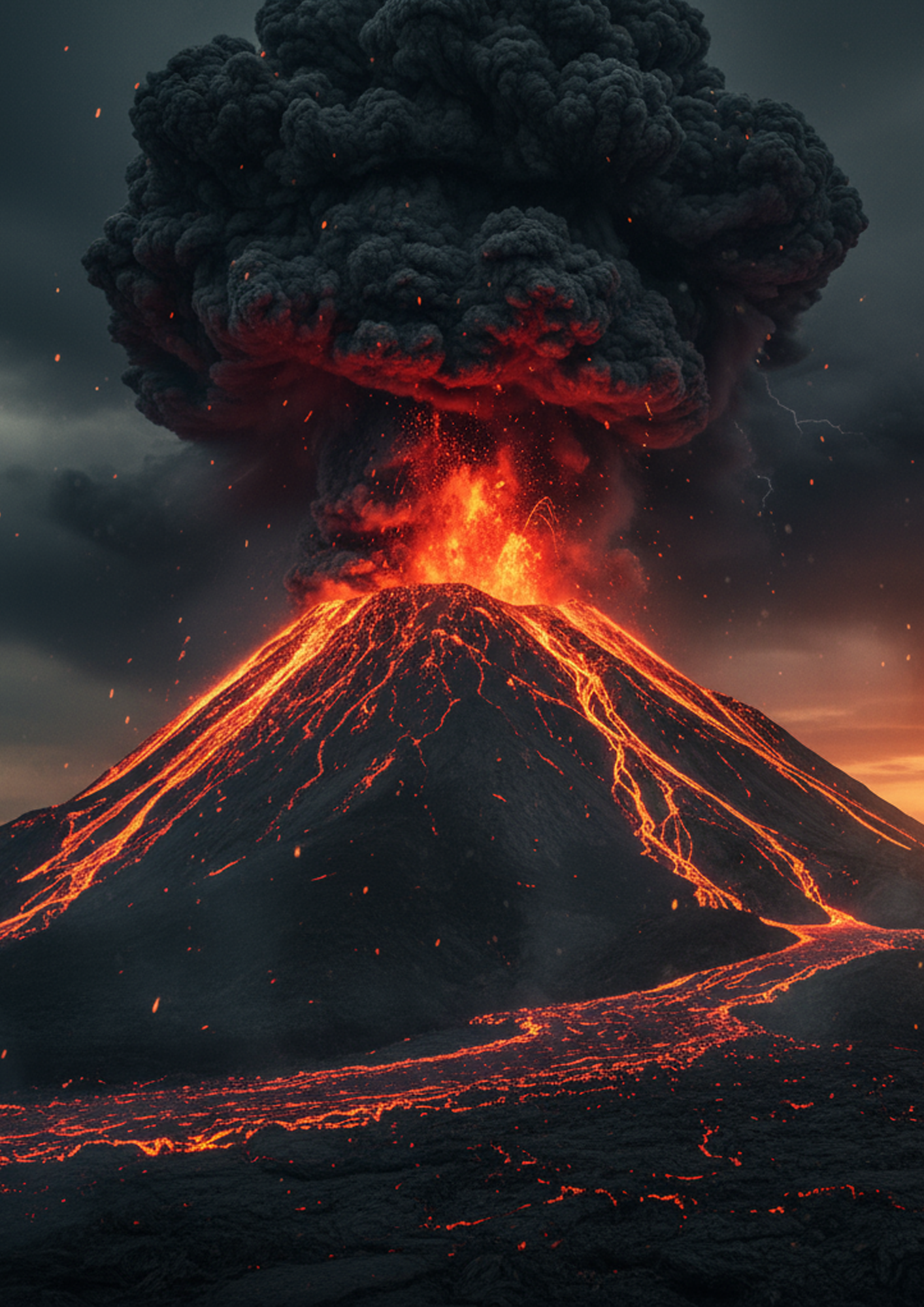
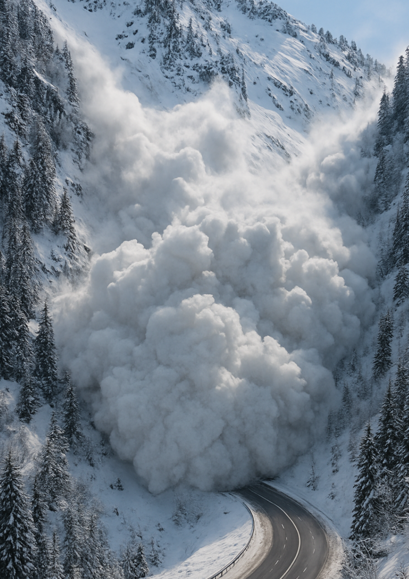
Our Remote Sensing Department provides advanced Earth Observation intelligence for the assessment, monitoring, and mitigation of natural hazards risk. We specialize in the processing and interpretation of multi-source satellite data, including optical, radar (SAR), altimetric, and gravimetric observations, to generate accurate, high-resolution outputs that support decision-making in risk-prone and environmentally sensitive areas.Our expertise extends across the full risk chain, hazard detection, exposure mapping, vulnerability assessment, damage prediction and emergency plan development. We employ innovative remote sensing methodologies, time-series analysis, and spatial modeling to support both pre-event risk forecasting and post-event impact evaluation for floods, landslides, wildfires, droughts, avalanches, deforestation, volcanic eruption, soil, water and air pollution and earth surface deformation.
Built on validated scientific protocols and cloud-based geospatial infrastructures, our services empower institutions, civil protection agencies, and environmental stakeholders with the actionable data needed for early warning, emergency response, and resilient planning.
Our Services
 Dubai, United Arab Emirates


